Pathways for methane emissions and oxidation that influence the net carbon balance of a subtropical cypress swamp

Abstract
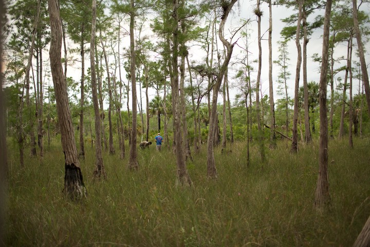
We evaluated the major pathways for methane emissions from wetlands to the atmosphere at four wetland sites in the Big Cypress National Preserve in southwest Florida. Methane oxidation was estimated based on the δ13C-CH4 of surface water, porewater, and bubbles to evaluate mechanisms that limit surface water emissions. Spatially-scaled methane fluxes were then compared to organic carbon burial rates. The pathway with the lowest methane flux rate was diffusion from surface waters (3.50 ± 0.22 mmol m-2 d-1). Microbial activity in the surface water environment and/or shallow oxic sediment layer oxidized 26 ± 3% of the methane delivered from anerobic sediments to the surface waters. The highest rates of diffusion were observed at the site with the lowest extent of oxidation. Ebullition flux rates were 2.2 times greater than diffusion and more variable (7.79 ± 1.37 mmol m-2 d-1). Methane fluxes from non-inundated soils were 1.6 times greater (18.4 ± 5.14 mmol m-2 d-1) than combined surface water fluxes. Methane flux rates from cypress knees (emergent cypress tree root structures) were 3.7 and 2.3 times higher (42.0 ± 6.33 mmol m-2 d-1) than from surface water and soils, respectively. Cypress knee flux rates were highest at the wetland site with the highest porewater methane partial pressure, suggesting that the emergent root structures allow methane produced in anaerobic sediment layers to bypass oxidation in aerobic surface waters or shallow sediments. Scaled across the four wetlands, emissions from surface water diffusion, ebullition, non-inundated soils, and knees contributed to 14 ± 2%, 25 ± 6%, 34 ± 10%, and 26 ± 5% of total methane emissions, respectively. When considering only the three wetlands with cypress knees present, knee emissions contributed to 39 ± 5% of the total scaled methane emissions. Finally, the molar ratio of CH4 emissions to OC burial ranged from 0.03 to 0.14 in the wetland centers indicating that all four wetland sites are net sources of atmospheric warming potential on 20-100 yr timescales, but net sinks over longer time scales (500 yr) with the exception of one wetland site that was a net source even over 500 yr time scales.